How Agricultural Drones Are Transforming Indian Farming
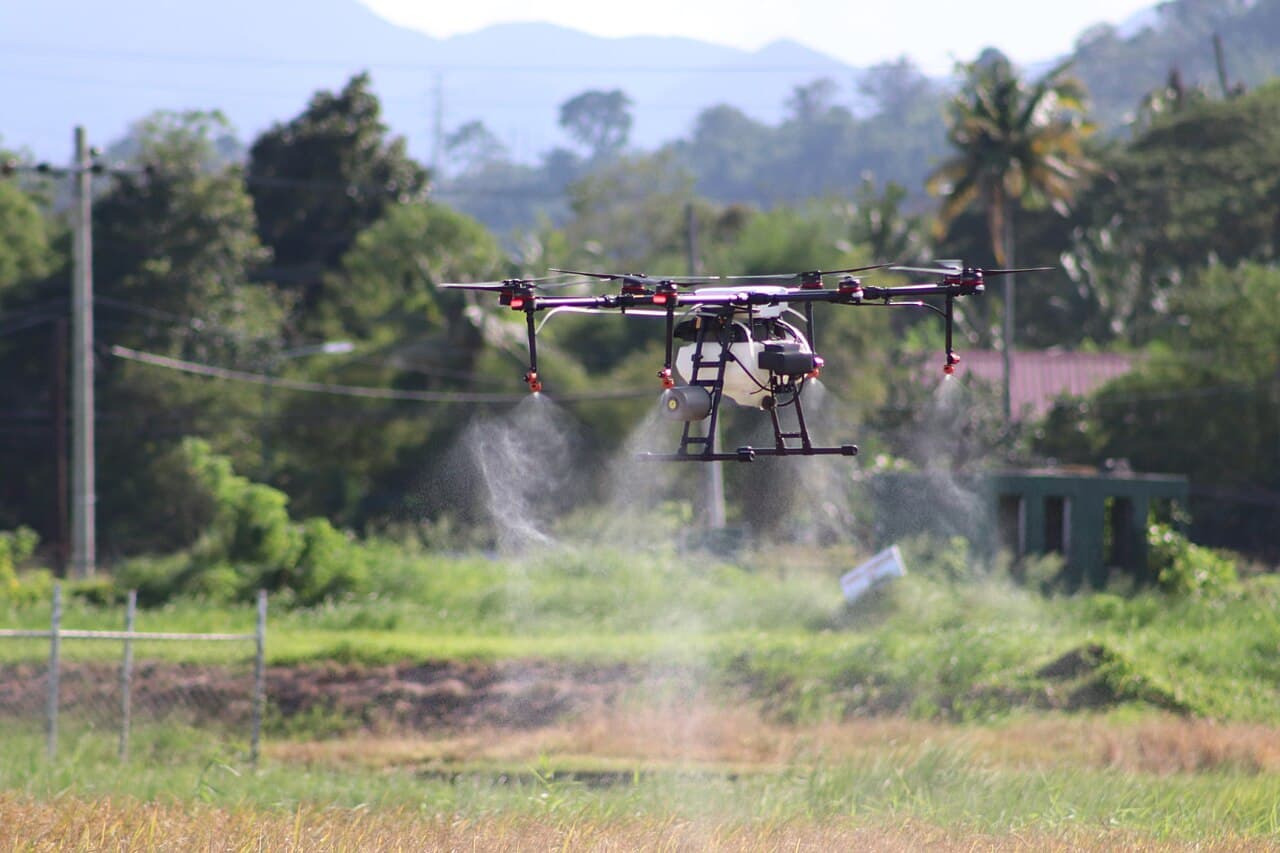
For most of the last decade, drones in Indian agriculture were mostly a subject of pilot programs and government demonstrations rather than something an average farmer actually owned or rented. That has started to shift meaningfully, driven by a combination of falling hardware costs, simplified regulation for agricultural use cases, and a genuine, provable return on investment for the specific tasks drones are best suited to — namely spraying, monitoring, and mapping large areas of land far faster than any ground-based method can manage.
Spraying is the most visible and economically significant use case. A heavy-lift agricultural drone, typically carrying a tank of ten to sixteen litres, can cover several acres in the time a manual knapsack sprayer would take to cover a fraction of that area, while also using meaningfully less water and pesticide thanks to more even, calibrated droplet distribution. For labour-intensive crops and for farms in regions where hired spraying labour has become harder to find, that speed difference isn't just a convenience — it can be the difference between spraying a field at the correct point in a pest or disease cycle and missing the window entirely.
Crop monitoring is the quieter but arguably more transformative application. A drone fitted with a multispectral camera can capture data invisible to the naked eye, most notably variations in a specific vegetation index that reveals crop stress — from water shortage, nutrient deficiency, or early disease — well before those problems become visible to a farmer walking the field. Turning an entire farm into a series of aerial scans that highlight exactly which sections need attention lets farmers target interventions precisely, rather than treating an entire field uniformly when only a small patch is actually struggling.
Mapping and yield estimation round out the third major use case. A single mapping flight can generate a detailed aerial model of an entire farm, useful for everything from planning irrigation channels to estimating harvest yield well ahead of the actual harvest, giving farmers a meaningfully better basis for planning storage, logistics, and sale timing. For larger cooperative farming operations in particular, this kind of data has started to shift decisions that used to rely mostly on experience and guesswork toward something closer to precision agriculture practiced in more mechanised farming economies.
None of this has happened without real obstacles. Upfront cost remains a genuine barrier for individual smallholder farmers, which is why much of the growth so far has come through drone-as-a-service operators who rent out spraying and mapping services on a per-acre basis rather than requiring farmers to own equipment outright. Pilot training and battery logistics in areas with unreliable electricity access add further friction. But the trajectory is clear: as service-based access models mature and hardware costs continue to fall, agricultural drones are moving from a novelty demonstrated at expos toward a genuinely mainstream tool in the modern Indian farmer's kit, alongside tractors and irrigation pumps rather than apart from them.
Written by Parth Pathak
Keep Reading
 Racing
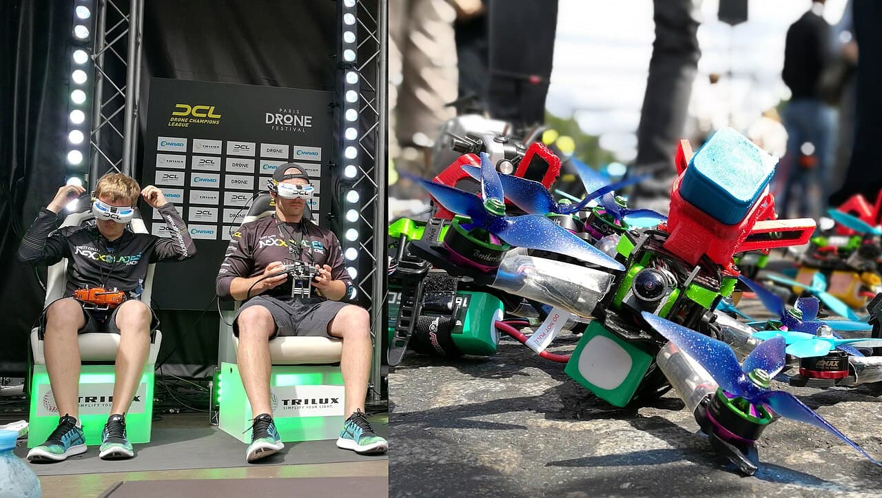
The Rise of FPV Drone Racing in India
From garage hobby to televised sport — how first-person-view racing found a home in Indian cities and college campuses.
 Buying Guide
Choosing Your First Beginner Drone: A Complete Buying Guide
Camera drone, mini whoop, or a ready-to-fly kit? A practical framework for picking a first drone without wasting money on the wrong one.
 Tech
TechUnderstanding Flight Controllers: PID Tuning Basics Explained
What a flight controller actually does, and why three letters — P, I, and D — decide whether your drone flies smooth or oscillates itself out of the sky.